Hurricane Season 2021 (2 Viewers)

We had a camp on Tar paper canal from 2003 to 2021. The canal is just across the way from entry into lake Catahouche. Probably a good 15 miles north of Lafitte (by water). The most water we ever got in camp was Rita. About 18 inches.

Sold camp in May. Guy called tuesday eve... They took over 5ft.
I’m not familiar with that canal, but me and my grandpa used to take the Westwego canal to get to Lake Catahouche. We fished soft shell crabs there. But that’s more evidence this was the highest surge most remember. And not by a little.
 
Latest GFS has no development into the northern Gulf at all.

Yup. I expect it will be back. Run to run consistency is going to be very low due to the weak steering currents. It still develops it into a very weak storm or depression but if it stalls 20 miles farther south then it stalls over warm water instead of land. That is why models are going to be all over the place. I still don't expect much at all from this thing but still needs watching.
 
I've been looking at flights to Alaska to go on a little fun trip. For that I apologize and the 18z GFS is now forecasting my punishment.

It's just one run so hopefully it is a random thought that slipped out but the weak tropical system it has been pushing into Mx for a week, is now becoming a hurricane and making a run up the Tx coast towards Houston.
Jeff Lindner is on it.

Yucatan System (Fri PM Update)

A tropical wave currently crossing the Yucatan will be moving into the Bay of Campeche on Saturday and into the SW Gulf of Mexico on Sunday. Currently an upper level trough over the central and NW Gulf of Mexico is resulting in WNW and W shear across this wave axis, but this trough and its associated shear is forecast to lessen as the tropical wave reaches the SW Gulf of Mexico late this weekend. Global forecast models continue to show varying degrees of tropical cyclone formation in the SW Gulf of Mexico late Sunday into Monday with tracks toward the NW toward NE MX and S TX and tracks toward the N and NE along the TX coast and potentially the SW LA coast. Model ensemble support has increased today suggesting that some sort of tropical system is likely to develop.

Given the developing steering pattern by early next week, it is likely that any sort of tropical system would move toward the north into a height weakness field over the TX and LA coastal areas, but this also depends on where any surface center may develop. It is certainly within the realm of possibilities that the surface center forms very near the eastern MX coast or moves just inland reducing the threat of a tropical system along the TX coast. It is also possible the center forms a bit further east and remains over the western Gulf of Mexico waters while moving northward.

The National Hurricane Center has raised the probability of development to 80% over the next 5 days and this system needs to be monitored closely over the weekend.

As mentioned the last few days, the threat for heavy to excessive rainfall will be increasing by late Sunday and more likely into early to mid next week. However, if a more defined tropical system develops this may alter the rainfall forecasts some, but still expecting some very wet days early next week, especially near the coast. How much rainfall and where the highest amounts will fall remain uncertain and may be increasingly tied to any sort of tropical system moving N or NE along the coast.

While the main focus has been the rainfall forecast, will need to keep an eye on potential for higher seas, tides, and winds depending on the formation and track of any possible tropical system into or near our area. For now, it is unclear what sort of impacts this could be, but increasing ESE/SE winds late this weekend into the 15-25kt range over our coastal waters will begin building larger swells into the 6-9ft range and likely lead to some wave run-up and possible minor coastal flooding at high tide by late Sunday and into early next week.

It is important to monitor forecasts closely over the weekend for changes.
 
From Jeff Lindner.

94L: Yucatan System

Tropical cyclone formation likely over the western Gulf of Mexico late this weekend or early next week.

Heavy to excessive rainfall possible over portions of SE TX early next week.


The tropical wave over the Yucatan continues to progress westward and will enter the Bay of Campeche later today. As upper level winds gradually become more favorable for development a tropical depression or storm may form late Sunday into Monday. There is decent agreement with the global forecast models that a surface low will from, but where exactly remains in question and this is important given the potentially close proximity to the eastern coast of MX or S TX and if the low if offshore on moves onshore. The majority of the models and their respective ensembles keep any surface low just off the western Gulf coastline. Steering flow over the western Gulf early next week will be generally from south to north with high pressure over the eastern Gulf and FL and a height field weakness across TX ENE into the lower MS Valley. This supports track solutions toward the NNW, N or NNE or generally from the SW Gulf toward the NW Gulf Monday into Tuesday.

The hurricane center remain at 80% probability for tropical cyclone formation over the next 5 days.

Rainfall:
Regardless of tropical cyclone formation a large mass of tropical moisture over the Gulf of Mexico will be approaching and moving onto the TX coast starting on Sunday. Significant rainfall will be possible in the Mon-Wed time period with excessive short term rainfall rates of 2-4 inches per hour possible under any banding, training, or clustering of the stronger cells. It is likely to be a few very wet days Mon-Wed, especially near the coast. Models continue to show varying degrees of inland extend of the heavy rainfall and this appears to be strongly tied to the formation and track of any surface low up from our S/SW. At this time, with the uncertainty on where a surface low may develop, will continue to focus the heaviest rains near the coast with a sharp inland gradient to the NW away from the coast.

Widespread rainfall amounts of 2-4 inches will be common over much of the area with much higher totals of 5-10 inches most likely near the coast and isolated totals in certain areas could be higher than 10 inches. Given the deep tropical air mass that will be in place by late Sunday, hourly rainfall rates of 2-4 inches per hour will be possible under the heavier cells into next week. While grounds are generally dry over the area, the magnitude of the rainfall in a short period of time could result in significant run-off generation especially over urban areas. Flooding concerns will increase as grounds become saturated early next week.

Winds/Seas/Tides:
There still remains a fair amount of uncertainty on where any surface low forms over the western Gulf and what effect son winds, seas, and tides that may have. For now will continue with developing easterly and southeasterly winds today into Sunday and increasing into the 15-25kt range with seas building 6-10ft offshore by late Sunday into Monday. Larger swells moving onto the coast will likely lead to some wave run-up and minor coastal flooding at times of high tides from late Sunday into early next week.


Continue to closely monitor forecasts for changes over the next 48-72 hours.
 
^Lol

Jeff Lindner. His focus will be squarely on this one due to SETX impacts.

94L (Sat PM)

Heavy rainfall likely early next week

Tropical system likely to form over the western Gulf of Mexico on Sunday and move northward.


Area of disturbed weather over the Bay of Campeche is moving slowly toward the WNW and NW and will reach the SW Gulf of Mexico on Sunday where upper level conditions look to become more favorable for the formation of a surface low pressure center. At the same time a trough axis and surge of deep tropical moisture will be spreading NW across the NW Gulf of Mexico and into the TX coast as early as Sunday morning. Rain chances will begin to increase from the coast inland on Sunday as moisture and lift increase. Expecting mostly passing bands of showers and thunderstorms on Sunday, with the more concentrated heavy rains holding off until Monday morning.

Surface low (depression or storm) is likely to form either Sunday or Monday along the east coast of MX or SSE of BRO and then move generally northward right along, slightly inland or just offshore of the lower TX coast on Monday and then NNE into the Matagorda Bay area or upper TX coast early Tuesday. Where exactly the surface low forms remains unclear and continues to yield uncertainty in the exact track forecast and possible impacts. General thinking remains unchanged from earlier that some sort of tropical system will be over the NW Gulf off the TX coast Monday and Tuesday. The majority of the model guidance keep the system as a tropical depression of tropical storm, but the reasonable worst case scenario could be a minimal hurricane or strong tropical storm should the system remain further offshore.

Tropical storm watches/warnings may be required for portions of the TX coast on Sunday.

Impacts:
Rainfall is likely to be the main impact and flooding and flash flooding will be possible.

Rainfall amounts will be strongly tied to the track of the surface low and the position of the NE extending surface trough. Areas to the SE of this trough axis will likely see the greatest rainfall amounts, but where that line sets up is unclear and there will likely be a fairly sharp gradient in rainfall totals across the area. Will continue to favor the coastal areas/counties for the greatest rainfall amounts of widespread 5-8 inches with isolated totals of 12 inches+. Areas inland of the coastal counties up to roughly I-10 can expect 3-5 inches with isolated higher amounts and areas off to the N and NW generally 1-3 inches. This is a fairly rough guestimate at this time and these numbers could go up or down.

Given the incoming tropical air mass, hourly rainfall rates of 2-4 inches will be possible and even with dry grounds this can quickly lead to run-off and flooding especially in urban areas. Overall flood threat will grow with time as grounds saturate. The tropical system is NOT expected to slow down or stall over the area.

Tides and seas will also be on the increase as winds build from the ESE and SE into the 15-25kt range by late Sunday into Monday and seas into the 6-10ft range. Increasing seas will result in wave run-up along the coast and coastal flooding will be possible at times of high tide, especially in the normal low lying and flood prone areas. Total water level of 3.0-4.0 ft above MLLW (barnacle level) is possible at high tides on Monday and Tuesday.

Given the uncertainty in the forecast track, these impacts may change…some significantly…over the next 24 -48 hours and it is important to monitor local trusted sources of weather information.
 
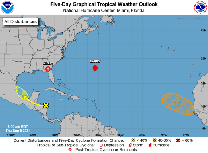
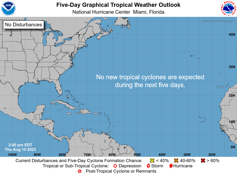
two_atl_5d0.png
 
Not much there really, two coming off Africa are going to be fish storms and the one off Mexico looks to be hugging land along the way to really get developed. The one in the western Atlantic may pose some problems for the central East Coast.
 

Create an account or login to comment

You must be a member in order to leave a comment

Create account

Create an account on our community. It's easy!

Log in

Already have an account? Log in here.

Users who are viewing this thread

    Back
    Top Bottom