Offline
NOCCA cancelled at like 10amso far just run-of-the-mill rain showers in Metairie ( im on SS today )
We just cancelled all after school stuff, but man i HATE being on the causeway with big winds and heavy rains
Follow along with the video below to see how to install our site as a web app on your home screen.

Note: this_feature_currently_requires_accessing_site_using_safari
NOCCA cancelled at like 10amso far just run-of-the-mill rain showers in Metairie ( im on SS today )
NOCCA cancelled at like 10am
We just cancelled all after school stuff, but man i HATE being on the causeway with big winds and heavy rains
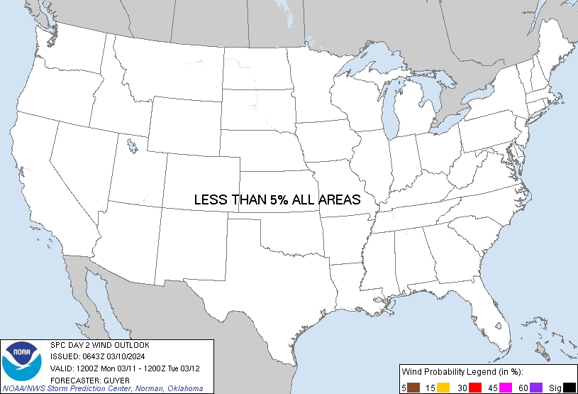
For those in SELA, you're currently in a level 3 out of 5 severe weather outlook for tomorrow. Seems like it might be something to pay attention to.
can someone post the forecast - i'm not seeing severe weather alerts on my apps
This is the Storm Prediction Center which the media builds it's forecast around.they wont issue those til tomorrow. By afternoon you will be getting into evening hours as the line supposed to come thru 12-2am.
( and what @Maxp talking about is offshore so over open water )


This is the Storm Prediction Center which the media builds it's forecast around.
In my circles, we all think the forecast is a bit on the aggressive side but they low track and dynamics behind the system are strong.
This is a pretty typical setup for January. In peak winter it is very difficult to get sufficient moisture over the MS Valley. Plus the jet stream tends to sag south and the lows that would normally track over northern Arkansas and MO are tracking over southern Arkansas or north Louisiana which limits the warm moist gulf air from getting much farther than southern MS. This low pressure system is just more potent than usual.Maybe just me, but i really feel like these last 18-24 months, that whole "storm prediction severity " has moved from like Tuscaloosa to Jackson area and shifted south to more New Iberia to lower Alabama ?
Especially the red areas- seem to be more southern now.
This is a pretty typical setup for January. In peak winter it is very difficult to get sufficient moisture over the MS Valley. Plus the jet stream tends to sag south and the lows that would normally track over northern Arkansas and MO are tracking over southern Arkansas or north Louisiana which limits the warm moist gulf air from getting much farther than southern MS. This low pressure system is just more potent than usual.
HiRes models are indicating a fast moving squall line and wind shift. There will be some embedded rotation but if a storm fires just out in front will have a tornado risk and with the low level shear in place any tornado that forms has a chance to be strong and storm motions will be so fast that any tornado that touches down will travel a long distance in a short amount of time. Strong tornadoes and long track tornadoes are both rare south of I-12 but they do happen as we've seen the last 18 months.
Yes. Don't get me wrong, it can happen in January it's just more difficult. Usually central and northern MS/AL start to get going more consistent in late February. South La tends to start dealing with capping issues by April and everything goes north but they can get severe weather all the weather all the way into June. It's just more difficult as the season goes on.so as we get into spring, that "warning area" will move back toward that MS/Bama area. We just early in the weather cycle? ( aka Jan vs April )
can someone post the forecast - i'm not seeing severe weather alerts on my apps