Tropical storm Cristobal (1 Viewer)

Cooler farther north in the GOM. But the uncertainties on any possible track, or another system forming, are primarily due to the fact there is no well defined center and other factors to still play out. Once a well defined center has formed, there will be better guidance on what will become of the Cristobal and any other possible system to develop.

And not to debate the accuracy of the GFS vs the EURO model, because they both have their own challenges with systems, depending on timing. But here is a pretty good write up, in Forbes discussing the two.

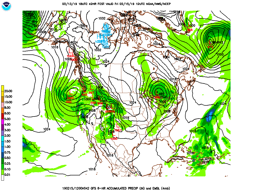
Yeah, I think the GFS is better than most give it credit for but the Euro is the better model. The GFS really tends to struggle with low development from Yucatan to Belize. I think there will be a storm, maybe 2 in the gulf, just not sold on either solution at this point.
 
SST's will not be an issue to sustain a pretty intense hurricane in the BOC. Further north in the GOM, SST's are not all that great, but not terrible for a hurricane, albeit weak. SST's are 27C in the GOM, to off the coast of Louisiana. 27C is the borderline temperature for a minimal hurricane.


gulfmex-cf.gif
 
A couple days old, but..


That is why the GFS model is not that very reliable, this far out, or beyond. The GFS is better to consider, when you are looking at it within a 5 day window of a landfall. Still really not as accurate as the European, but is improving with the continued advancements in its development.
 
Latest European ensemble runs, show a hurricane making landfall anywhere from the Miss.Alabama line, all the way over to Corpus Christi, with the bulk of the runs, clustered from Lafayette, to Corpus Christi. We’ll see. Stay tuned.

20B1991C-2070-4B67-8E42-A9F6C4CC419F.jpeg
 
Latest Euro makes a cane in the gulf.
 

Attachments

  • Screenshot_20200602-013048_Chrome.jpg
    Screenshot_20200602-013048_Chrome.jpg
    729.1 KB · Views: 6
Latest Euro makes a cane in the gulf.
Not at all surprising, particularly considering ....1) It has not moved as far west as forecast....2) It has essentially been stationary over the past 12 hours...3) For most practical and current model guidance, it is highly likely not going to dip into Mexico and be disrupted.

Euro, GFS and Canadian, all generally showing a movement in a direction towards the central La coast, with a move later in its path, toward the La/Texas border. The latest GFS model runs I saw, are not as bullish on a hurricane, but a big ball of mess.

My feeling is, from reading some of the info of the pro mets is, the continued development of convection over the Yucatan has stymied the movement to the west, as the LLC and MLC, attempt to be drawn together (stacked). The convective bursts over the Yucatan, have acted as a restraint, in my own layman's terms and reading the pro-mets discussions. This is why a number of the mets believe it will reach hurricane strength now as it will remain offshore and will not make a landfall deep in the southern BOC.

Today could be very interesting.
 
Deep convection beginning to fire off over very warm SST’s, down there. Should reach TS status some time today. Probably after recon goes in.
2735FA9F-2027-421A-904B-0B512EC20A88.jpeg

Latest GFS model, to compare to the Euro.
D1F8FC5C-B60B-4B68-AC8F-7C67113A1B4C.jpeg

Euro is much more bullish on ramping this up to hurricane status, which appears the pro mets are thinking as a possibility, as of now!
 
Last edited:
Well if I had to choose between a June vs an Aug or Sept storm, I'll take June.
 
Ditto and we could use the rain.
Well to be blunt, if you are unfortunate to have a CAT 1 hit your area and you lose power and may have some flooding with loss of property, or worse; life....the month will not matter. As we all know, even a TS can cause unforeseen problems. Just be prepared is all we can do.

But there is a higher chance for a catastrophic hurricane in August, say compared to June. I get that angle for sure.
 
Here is the best site i have found (https://www.wunderground.com/hurricane?index_region=at ) not just for computer models but for discussions of the storms. Right now models show Louisiana to Texas , so keep abreast.
Euro and GFS models both, are beginning to hone in from to the central La coast, to the La/Tex border. It appears they are only about 150 miles between the two most relied upon models. The Euro considered as being the most accurate model, and the GFS second, by most accounts and opinions.
 
Some models show this system will stay in the southern most Bay of Campeche and will move over land Thursday morning. Some time afterwards, two of the most reliable models develop another system in the southwest GOM and show a track toward Texas. This could be where we see two storms in the GOM the next few (5-7 days).
Makes sense because you know, it's 2020.

lb8xon09hjm41.jpg
 

Create an account or login to comment

You must be a member in order to leave a comment

Create account

Create an account on our community. It's easy!

Log in

Already have an account? Log in here.

Users who are viewing this thread

    Back
    Top Bottom