Tropical storm Cristobal (1 Viewer)

77AB9F90-3746-4C02-82D2-8186D76ADADA.jpeg

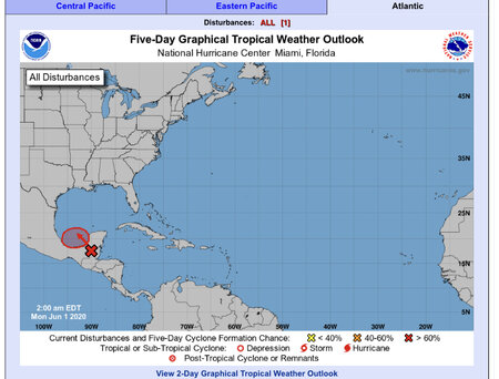
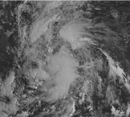
Pretty decent looking system to get started with, over CA and adjacent waters. Could be a very interesting 5-7 days coming up.
 
Pretty much every model has it forming. They also have it as a slow moving, weak system. The rainfall threat will likely be the biggest impact at some point but anytime a storm sits over the Gulf for several days a lot can happen.
 
Pretty much every model has it forming. They also have it as a slow moving, weak system. The rainfall threat will likely be the biggest impact at some point but anytime a storm sits over the Gulf for several days a lot can happen.
No question. Stay tuned and alert, if you live along the GOM.
 
i dont like the destruction that some people get in these storms every year. but these threads are some of my favorite on saints report because of the knowledge you guys have and share. i check here before weather sites.
 
Some models show this system will stay in the southern most Bay of Campeche and will move over land Thursday morning. Some time afterwards, two of the most reliable models develop another system in the southwest GOM and show a track toward Texas. This could be where we see two storms in the GOM the next few (5-7 days).
 
Very good upper air pattern (outflow) currently and for the future, for pretty quick development. Very warm waters down there as well as high as 28C!
 
Quite a few models now showing a hurricane somewhere in the SW GOM, later this week. The question is, is it one that forms from another system that spins up, or if this soon to be Cristobal does something other than making landfall in Mexico, in the BOC? A lot of things in play. But it is projected to be a depression this evening and a storm by tomorrow.

(As always, please refer to your local weather professionals, for OFFICIAL information and updates. Information that I post, is my perspective from the information written and provided by weather professionals. I AM NOT A METEOROLOGIST).
 
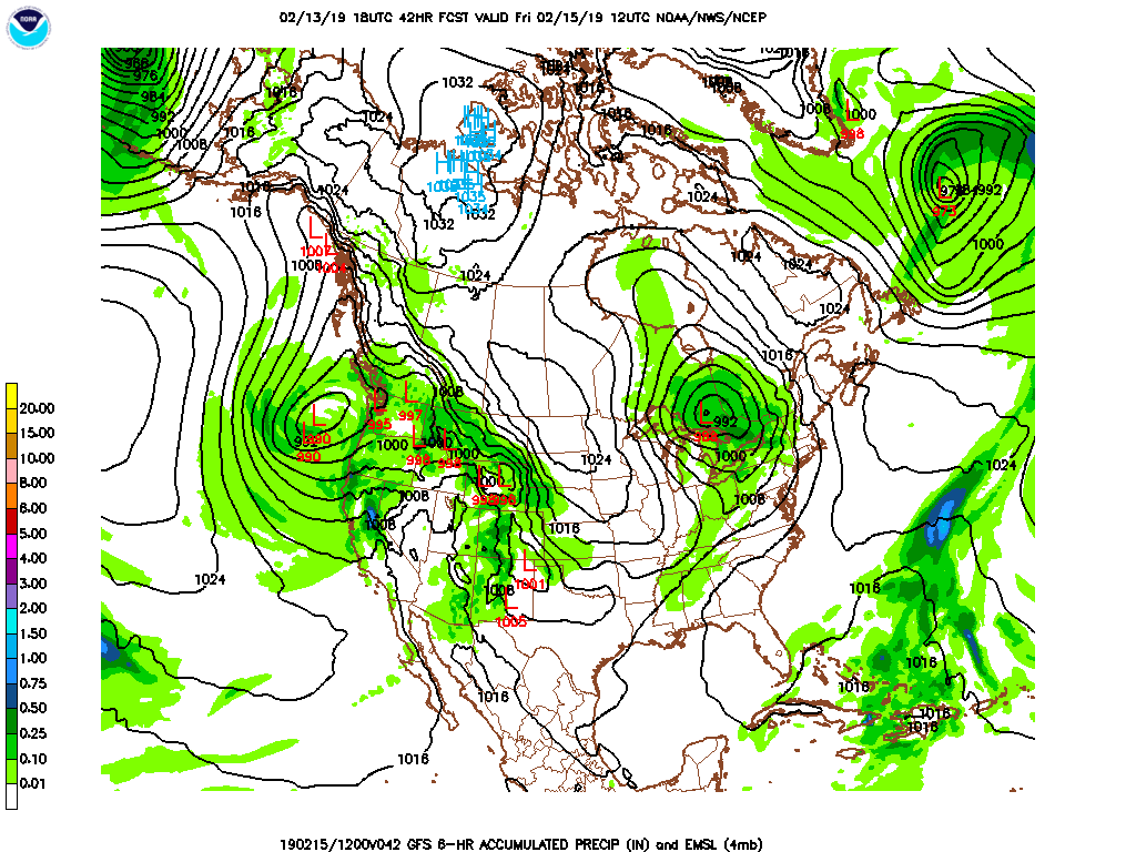
Interesting take from a pro met of one GFS model run!

“12Z GFS shows Cristobal developing tonight over BOC...strengthens a little then runs back into Mexico.

A center reforms off the northern edge of the Yucatan this weekend, lifts north towards SE LA then turns left moving in near the Sabine.

Couple points to make, how that center reforms with the entire gyre is the ultimate reality how this all plays out. Also, GFS looks relatively weak as it shows a massive circulation and those tend to struggle to organize much. The rain on the GFS is actually heaviest in eastern Gulf/Florida.”
Euro is a bit different. It also forms the Christobal and turns it towards the Mexico coast but then it stalls and heads for the mouth of the Ms River but then stalls it again and sends it back towards mexico again then turning it up into Tx.

Euro is the better model, particularly down in that area but my biggest concern is not the exact track but the shifting back and forth just indicates really weak steering currents which likely also means favorable conditions to developk. Luckily SST's are still a bit on the cool side in June so it should limit the updside strength.
Cooler farther north in the GOM. But the uncertainties on any possible track, or another system forming, are primarily due to the fact there is no well defined center and other factors to still play out. Once a well defined center has formed, there will be better guidance on what will become of the Cristobal and any other possible system to develop.

And not to debate the accuracy of the GFS vs the EURO model, because they both have their own challenges with systems, depending on timing. But here is a pretty good write up, in Forbes discussing the two.


Create an account or login to comment

You must be a member in order to leave a comment

Create account

Create an account on our community. It's easy!

Log in

Already have an account? Log in here.

Users who are viewing this thread

    Back
    Top Bottom