- Moderator
- #1
- Joined
- Sep 1, 1997
- Messages
- 17,205
- Reaction score
- 5,474
- Age
- 60
Offline
**UPDATED 9/12 430pm: 92L fell apart; changed links and maps to 93L instead**
*****************************************************************
9/9 original post:
Update from Jeff Lindner; new tropical system enters the Gulf.
I'll put up some maps and links shortly.
There are two more behind this one...93L models show it could enter the Gulf, if it even develops. So far it isn't showing much chance of surviving, but if it does, we'll watch that one, too. 95L appears to be destined for the fish. 92L is the one that caught Lindner's attention, so it caught my attention, too.

****************************************************************************
NHC Products
NHC Home
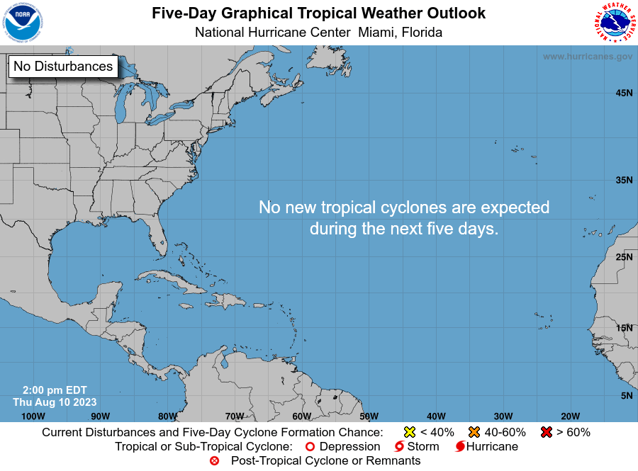
Tropical Weather Outlook
Tropical Weather Discussion
Satellite Products
Link to NOAA page with numerous animated images: Tropical Cyclone Imagery - Storm Floaters - Satellite Products and Services Division - Office of Satellite and Product Operations
Visual (animated)

Water Vapor

Infrared

Radar
from wunderground.com:

CURRENT MAPS/FORECASTS/MODELS:
Computer models (courtesy of wunderground.com):

*****************************************************************
9/9 original post:
Update from Jeff Lindner; new tropical system enters the Gulf.
I'll put up some maps and links shortly.
There are two more behind this one...93L models show it could enter the Gulf, if it even develops. So far it isn't showing much chance of surviving, but if it does, we'll watch that one, too. 95L appears to be destined for the fish. 92L is the one that caught Lindner's attention, so it caught my attention, too.
92L (FL Straits) is looking better organized and has some development potential in the Gulf
Westward moving tropical wave now approaching the FL Keys and the FL Straits has become better organized this morning with both visible satellite images and Key West radar showing the formation of a broad surface circulation on the western side of deep convection. Upper level winds are currently not favorable for additional development…with that said…it will not take much more organization for a tropical depression to form. This feature will continue to move westward and enter the SE Gulf of Mexico late this weekend where upper level winds may begin to become slightly more conducive for development. There is currently very little model support for this feature developing and the limited track guidance available shows a general westward track toward the western Gulf of Mexico over the next 5 days.
The National Hurricane Center currently gives the system a 40% chance of development and this system should be monitored closely over the next several days as it moves into the Gulf of Mexico.

****************************************************************************
NHC Products
NHC Home
Tropical Weather Outlook
Tropical Weather Discussion
Satellite Products
Link to NOAA page with numerous animated images: Tropical Cyclone Imagery - Storm Floaters - Satellite Products and Services Division - Office of Satellite and Product Operations
Visual (animated)

Water Vapor

Infrared

Radar
from wunderground.com:
CURRENT MAPS/FORECASTS/MODELS:
Computer models (courtesy of wunderground.com):
Last edited:


